Zadnja Trenta (Flori) - Zagorelec (via Prehodec)
Starting point: Zadnja Trenta (Flori) (962 m)
Starting point Lat/Lon: 46.4043°N 13.7098°E 
Path name: via Prehodec
Time of walking: 6 h 30 min
Difficulty: easy pathless terrain, very difficult marked way
Difficulty of skiing: no data
Altitude difference: 1128 m
Altitude difference (by path): 1540 m
Map: TNP 1:50.000
Access to starting point:
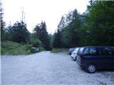
From Kranjska Gora over mountain pass Vršič we drive towards Bovec or vice versa, but only to 49th hairpin turn of Vršič road (near the village Trenta). Here we go on a side road in the direction of source of river Soča. The road after a shorter ascent quickly brings us to the parking lot before the mountain hut Koča pri izviru Soče, but we continue left over a bridge and follow the road ahead to the parking lot at the end of the road (by parking lot we notice signposts for Bavški Grintavec, waterfalls of Suhi potok and Jalovec).
Path description:
From the parking lot, we continue on the road which is closed with a gate and already after few ten meters, we come to a crossing.
We go right towards Jalovec and Zavetišče pod Špičkom. The path quickly passes into a dense forest, where it starts ascending steeply. Steep path, which almost all the time runs through the forest, after approximately hour and a half of walking, it brings us to a crossing, where we continue on the left path in the direction of the cottage Zavetišče pod Špičkom (right Jalovec, Mali kot and Jalovška škrbina, both paths are marked). The path ahead for some time slightly flattens, and then again starts ascending steeply, this time through occasionally thinner forest. Higher forest becomes even thinner and from the path nice views are starting to open up on surrounding peaks. And only a little further we get to a marked crossing, where a marked but poorly beaten path on Bavški Grintavec branches off to the left.
We go left on the mentioned path and we cross the slopes towards the southwest. The path here mostly runs by dwarf pines and rare larches. For a short time then the path turns slightly to the right where we cross a shorter steep slope. A poorly beaten path then again crosses slopes, and in front of us, we can clearly see the ridge of peaks from Vršac to Veliki Pelc. The path further is slightly descending and leads us towards wide gully on the left side of Vršac. When we come into the mentioned gully we again start ascending steeper. At first the path runs on the right side and then follows an ascent on the left side of the gully, which is grassy. Higher when we get closer to steep rocky slopes, the path turns firmly to the left. Next follows an ascent on a slightly overgrown gully and then the path turns left and starts ascending on a steep and exposed terrain. The path here is very badly beaten and is vegetated with grass and other vegetation, so especially in wet it is very dangerous for slipping. The path also isn't secured therefore even a little more caution is needed.
Such a path then brings us on less steep grassy slopes on the southeastern side of Vršac. Here the path is very poorly visible and it soon starts more significantly descending. We still mostly in descent cross grassy plain Srednjica in the direction towards the south. The path which is marked but poorly visible here descends approximately 200 altitude meters. From the grassy slopes, the path then brings us into a lane of thin larch forest. When we get a little closer to a deep precipitous gully, the path turns to the right and starts ascending steeper. After that, the path soon turns to the left and on a narrow passage above the gully named Prehodec crosses the exposed slope. The path isn't secured therefore a little more caution is needed. The path then brings us to the next grassy plain named Za Razorcem.
A poorly visible path further crosses grassy slopes and later descends a little into a small valley where we will by the path notice a bigger boulder and a pond. We continue through a small valley where the path is very poorly visible and occasionally slightly overgrown. When we come below the slopes of Skutnik, we leave the mentioned small valley and we ascend left on an indistinct grassy ridge. We continue by the mentioned ridge and the path soon leaves the grassy slopes. Here the path at first runs by dwarf pines, and then crosses a little steeper slope above a wide gully. Here we also get help from fixed safety gear. The path further still crosses occasionally pretty steep slopes on the south side of the peak Zagorelec. The path then brings us to the scree below the saddle Kanjski preval and it again starts ascending a little steeper. From the scree the path turns to the right and after a short ascent, it brings us to grassy terrain between Zagorelec and Šmiholovec.
Here we leave the marked path and we go right into a small valley between the mentioned peaks. We continue through the valley in the direction towards the saddle Čez Lužo. Here we can walk on the bottom of the valley or higher on the right side where there is occasionally visible footpath.
When we get closer to a saddle Čez Lužo we go right and we ascend to the ridge where we continue left. Further, we are all the time ascending on a panoramic ridge all the way to the top of Zagorelec.
At the descent we at first return to a marked path and then we short time continue on a poorly beaten path towards the saddle Kanja. At the crossing, we go left downwards and we descend on a better beaten path via Planina Zapotok back to the starting point in Zadnja Trenta.
On the way: Konj (1800m), Prehodec (1700m), Čez Lužo (1986m)
Pictures:
 1
1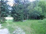 2
2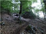 3
3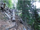 4
4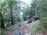 5
5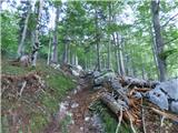 6
6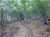 7
7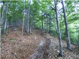 8
8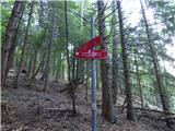 9
9 10
10 11
11 12
12 13
13 14
14 15
15 16
16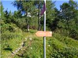 17
17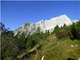 18
18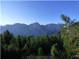 19
19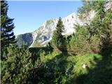 20
20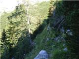 21
21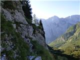 22
22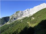 23
23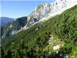 24
24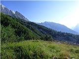 25
25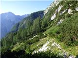 26
26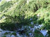 27
27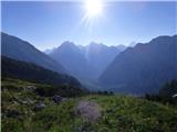 28
28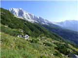 29
29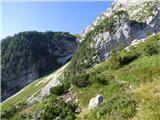 30
30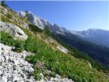 31
31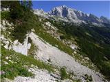 32
32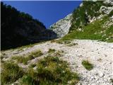 33
33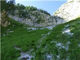 34
34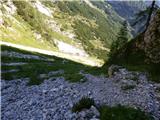 35
35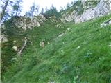 36
36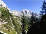 37
37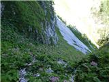 38
38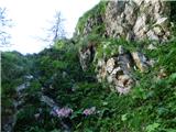 39
39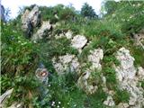 40
40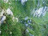 41
41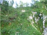 42
42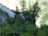 43
43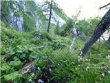 44
44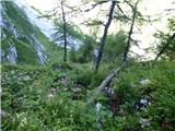 45
45 46
46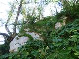 47
47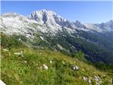 48
48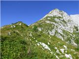 49
49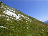 50
50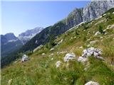 51
51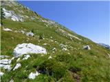 52
52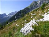 53
53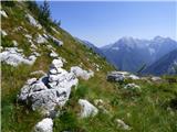 54
54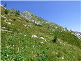 55
55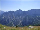 56
56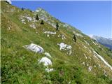 57
57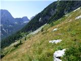 58
58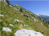 59
59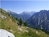 60
60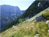 61
61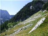 62
62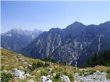 63
63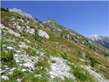 64
64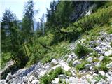 65
65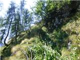 66
66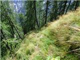 67
67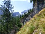 68
68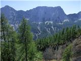 69
69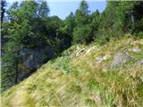 70
70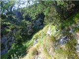 71
71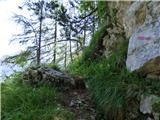 72
72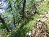 73
73 74
74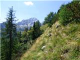 75
75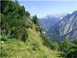 76
76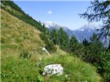 77
77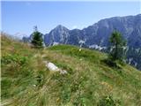 78
78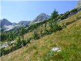 79
79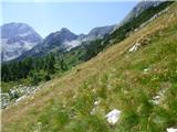 80
80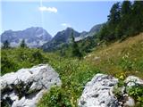 81
81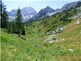 82
82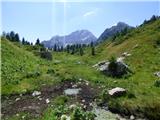 83
83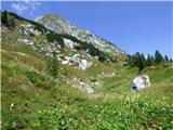 84
84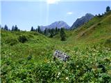 85
85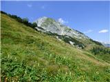 86
86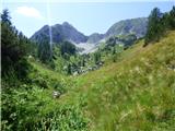 87
87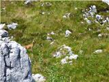 88
88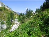 89
89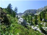 90
90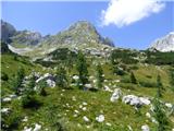 91
91 92
92 93
93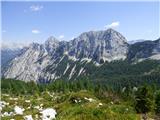 94
94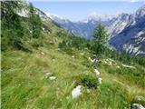 95
95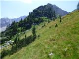 96
96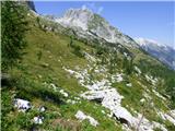 97
97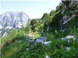 98
98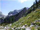 99
99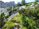 100
100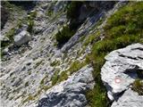 101
101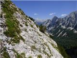 102
102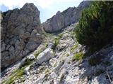 103
103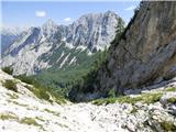 104
104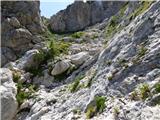 105
105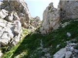 106
106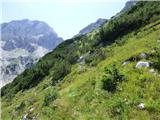 107
107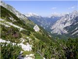 108
108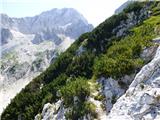 109
109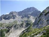 110
110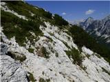 111
111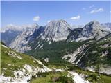 112
112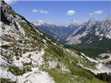 113
113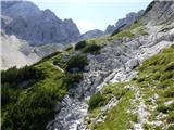 114
114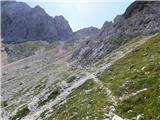 115
115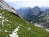 116
116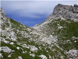 117
117 118
118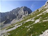 119
119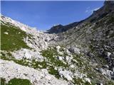 120
120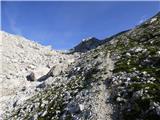 121
121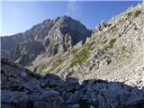 122
122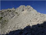 123
123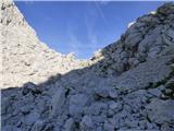 124
124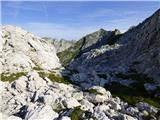 125
125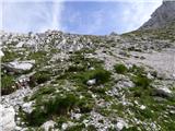 126
126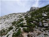 127
127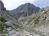 128
128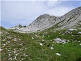 129
129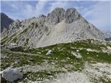 130
130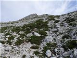 131
131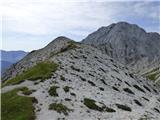 132
132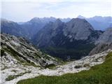 133
133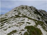 134
134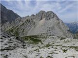 135
135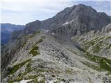 136
136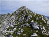 137
137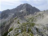 138
138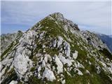 139
139 140
140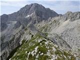 141
141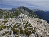 142
142 143
143 144
144 145
145 146
146 147
147