Zadnja vas - Koča na Dobrči
Starting point: Zadnja vas (638 m)
Starting point Lat/Lon: 46.3608°N 14.2448°E 
Time of walking: 2 h 30 min
Difficulty: easy marked way
Difficulty of skiing: no data
Altitude difference: 840 m
Altitude difference (by path): 840 m
Map: Karavanke - osrednji del 1:50.000
Access to starting point:
From the highway Ljubljana - Jesenice, at the Podtabor junction we continue in the direction of Ljubelj and Tržič. We continue driving on the fast road towards Ljubelj, and then just before the gas station, we turn right in the direction of Tržič and Begunje. The road then starts descending, and at the first crossroad, we continue left (direction Begunje) through the underpass, through which we arrive in Bistrica pri Tržiču. A little further, a sign for Begunje directs us right onto a narrower and ascending road, which we then follow through the villages of Brezje and Hudi Graben. After Hudi Graben, only a few hundred meters after the crossroad where the road to the villages Leše and Paloviče branches off to the left, we will notice a macadam road on the right side and next to it signposts for Dobrča. We head onto the mentioned macadam road (the turn from the main road is sharply to the right) and then already after a few meters we park on the parking area by the road.
Access from Begunje is also possible.
Path description:
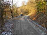
From the starting point, we continue on the macadam road, which soon makes the first left turn, and then transitions to panoramic grassy slopes, from which a nice view opens up on the Julian Alps. The road soon returns to the forest and brings us to a smaller unmarked intersection. We continue right and follow the road ahead to the next sharp left turn. In the middle of the mentioned turn, a cart track branches off to the right, by which on a smaller tree we notice a trail marker. We continue the ascent on the mentioned cart track, which gradually starts to ascend more and more steeply. The considerably rutted cart track, by which the trail markers are quite rare, higher up joins a better-beaten path that comes from the village Hudi Graben.
We continue left on a relatively steep path, which still runs through the forest. Higher up, we step onto a poor forest road, along which in a few dozen steps we walk to a wider macadam road. We merely cross the mentioned road, as the trail markers direct us onto a footpath, which higher up crosses the mentioned road a few more times. We then follow the mentioned footpath, which occasionally ascends quite steeply, all the way to the Koča na Dobrči mountain hut.
Pictures:
 1
1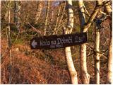 2
2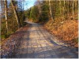 3
3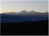 4
4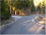 5
5 6
6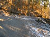 7
7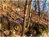 8
8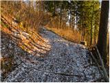 9
9 10
10 11
11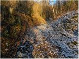 12
12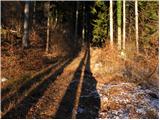 13
13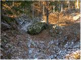 14
14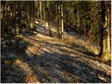 15
15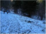 16
16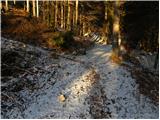 17
17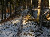 18
18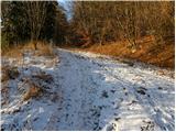 19
19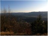 20
20 21
21 22
22 23
23 24
24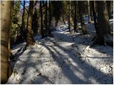 25
25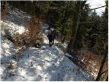 26
26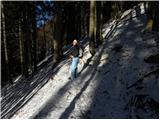 27
27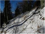 28
28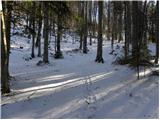 29
29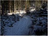 30
30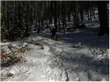 31
31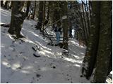 32
32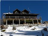 33
33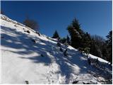 34
34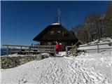 35
35