Starting point: Žagana peč (812 m)
Starting point Lat/Lon: 46.3384°N 14.5702°E 
Time of walking: 3 h 15 min
Difficulty: partly demanding unmarked way, difficult marked way
Difficulty of skiing: demanding
Altitude difference: 1235 m
Altitude difference (by path): 1235 m
Map: Grintovci 1:25000
Access to starting point:
We drive into a valley of Kamniška Bistrica towards the mountain hut Dom v Kamniški Bistrici. From the hut, we continue forward on the road which soon becomes a macadam. We follow the road ahead towards signs for saddle Kokrsko sedlo. We park at big boulder, Žagana peč on which also altitude is writen. Some meters higher is on the left side of the road smaller parking spot where we park.
Driving from the mountain hut in Kamniška Bistrica to Žagana peč is now forbidden (traffic sign), this extends the path for approximately 45 minutes.
Path description:
We start at Žagana peč, or half an hour lower at Kamniška Bistrica. Some meters above Žagana peč, where from Kamniška Bistrica lead blazes towards the saddle Kokrsko sedlo, on the left side of the road from parking space well-beaten hunting footpath branches off. It is rising through steep forest and crosses some gullies. We stick to the left direction and in good hour we come to a small saddle, where there stands a hunting cottage with a bench (1330m). The path turns right above cottage on left slope of the hill and then on natural groove. The footpath is all the time pretty steep and pleasantly soft. At the end of the groove beaten path branches off to the right on Zob and ahead on Kalška gora and not on Čmaževski turn, which is lower. We follow the path straight, which starts vanishing in dwarf pines and is becoming less steep. The path almost completely avoids dwarf pines and completely vanishes on high mountain karst terrain Kalce. If we follow the bottom indistinct valley (we get help from cairns), we come to scree and there to a marked path, which we follow to the right towards the saddle Kokrsko sedlo. Over steep spot we get help from a steel cable. In 10 minutes we come to a crossroad, where we turn right towards Kalška gora. To the top we have good 5 minutes on panoramic grassy path. Car-hunting cottage 1h10', hunting cottage-marked path 1h50', marked path - peak 15'. At the descent it is harder to find the footpath, if we didn't ascend on this path.
Pictures:
 1
1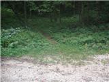 2
2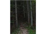 3
3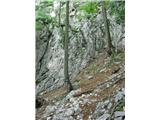 4
4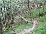 5
5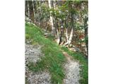 6
6 7
7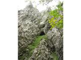 8
8 9
9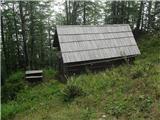 10
10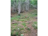 11
11 12
12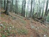 13
13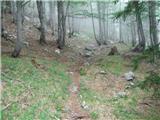 14
14 15
15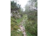 16
16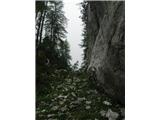 17
17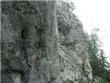 18
18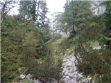 19
19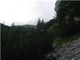 20
20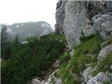 21
21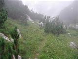 22
22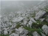 23
23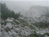 24
24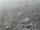 25
25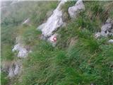 26
26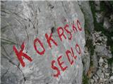 27
27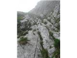 28
28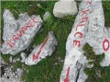 29
29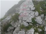 30
30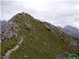 31
31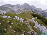 32
32