Starting point: Zagora (100 m)
Starting point Lat/Lon: 46.0286°N 13.5979°E 
Time of walking: 2 h 5 min
Difficulty: easy marked way
Difficulty of skiing: no data
Altitude difference: 581 m
Altitude difference (by path): 630 m
Map: Goriška 1:50.000
Access to starting point:
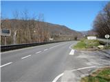
A) First, we drive to Nova Gorica, and then we continue driving towards Tolmin and Bovec. Further, we drive past Solkan bridge (Solkan bridge over which runs the railway line is 220 meters long, the bridge has the longest stone arch in the world), and then we drive a few kilometers directly along the river Soča. When the road goes a little away from the river, we get to a smaller crossroad, where a road towards Zagomila branches off to the right (house nos. 1-2) and Zagora (house nos. 1-7) and accommodations at Pri Martinovih. Here we continue right and after the first right turn, we park on an appropriate place by the road. We can also park higher by the road.
B) From the direction of Tolmin and Most na Soči on a regional road we drive towards Nova Gorica. After the settlement Plave we need to pay attention to the left turn-offs. First, the road branches off to the left towards a smaller hamlet or nearby house, and a little further, the road towards Zagomila branches off sharply to the left (house nos. 1-2) and Zagora (house nos. 1-7) and accommodations at Pri Martinovih. Here we continue left and after the first right turn, we park on an appropriate place by the road. We can also park higher by the road.
Path description:
From the spot where we've parked, we continue on the asphalt road which moderately ascends through the forest. At the very beginning, we still have some views on the other side of the river Soča, where we see the church of St. Ahacij above Prilesje; after that, except for the view on the nearby pasture up to the sharp right turn, we don't enjoy any special views. From the mentioned turn, we clearly see Soča, Prilesje, Plave and Korada. After the turn, the forest gradually thins and the path brings us to the village Zagora, where the path leads us past a few houses. In the middle of the settlement, a short road branches off to the right to Martinovi, and we continue left in the direction of Sveta Gora. Only a little further, we arrive above the village, and we continue the ascent on the asphalt road which for quite some time continues through the forest. The road then ascends towards the south to southeast and eventually brings us to Zagomila, a smaller hamlet above which a beautiful view opens up towards Korada and the ridge of Sabotin. After the settlement, the asphalt also ends, and the road brings us to the marked crossroad, where we continue straight in the direction of Sveta Gora (left hamlet Vodice, peak Vodice via hamlet Vodice, peak Kuk...).
The path ahead gradually starts to descend, so that we descend almost 50 altitude meters. During the descent, we first cross the slopes of Košutnik (592 m), then also the slopes of Vodice (651 m). On the southwestern slopes of Vodice, the path stops descending and starts to ascend transversely towards the saddle Preški vrh. A little before the saddle, a marked path from Skalnica joins us from the right (path from the starting point at the sharp turn of the road Nova Gorica - Sveta Gora, more precisely between the quarry and inn Skalnica). From the mentioned path junction to the saddle Preški vrh, we have only a few minutes left.
On the saddle is a marked junction of several roads, and we continue on the rightmost road in the direction of Sveta Gora (left Vodice, straight Grgar). There follows approximately 20 minutes of ascent with occasional nice views, and the path brings us to a large parking lot below Sveta Gora. From the parking lot, we continue on stone stairs and ascend them to the summit of Sveta Gora.
On the way: Zagora (200m), Zagomila (400m), Preški vrh (504m)
Trip can be extended to: Vodice
Pictures:
 1
1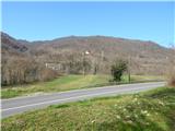 2
2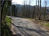 3
3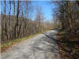 4
4 5
5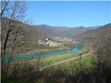 6
6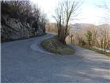 7
7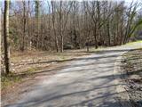 8
8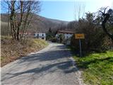 9
9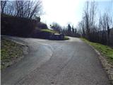 10
10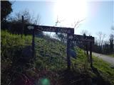 11
11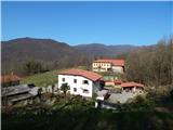 12
12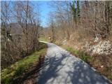 13
13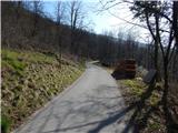 14
14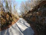 15
15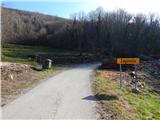 16
16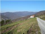 17
17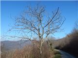 18
18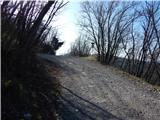 19
19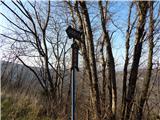 20
20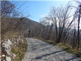 21
21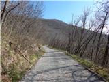 22
22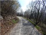 23
23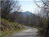 24
24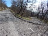 25
25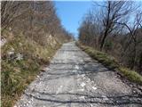 26
26 27
27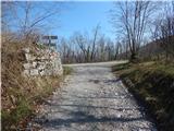 28
28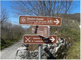 29
29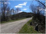 30
30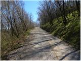 31
31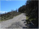 32
32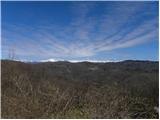 33
33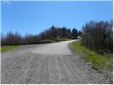 34
34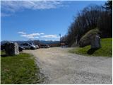 35
35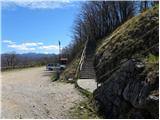 36
36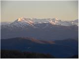 37
37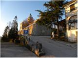 38
38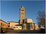 39
39 40
40