Starting point: Zaklanec (345 m)
Starting point Lat/Lon: 46.02367°N 14.31492°E 
Time of walking: 1 h 15 min
Difficulty: easy marked way
Difficulty of skiing: no data
Altitude difference: 384 m
Altitude difference (by path): 405 m
Map: Ljubljana - okolica 1:50.000
Access to starting point:
A) We leave Primorska highway at exit Brezovica, and then we follow the signs for Dobrova, from where from the roundabout we continue in the direction of Horjul. When we get to the settlement Zaklanec at the crossroad for Polhov Gradec there is the beginning of the described path. At the starting point, there aren't any appropriate parking spots.
B) We drive to Vrhnika, and then we follow the signs for Horjul. In Horjul we continue right in the direction of Dobrova, and we drive to the settlement Zaklanec, where at the crossroad for Polhov Gradec there is the beginning of the described path. At the starting point, there aren't any appropriate parking spots.
Path description:
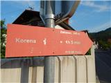
From the crossroad, we go on a side road, by which there are road signs for Polhov Gradec and hiking signposts for Koreno. We at first walk past few more houses in the settlement Zaklanec. The settlement quickly ends and the road takes us into the forest, where it turns sharply to the right. At the mentioned turn we leave the road and we continue left, where blazes point us to. Nearby water storage we bypass on the left side, and the path then ascends through the forest. After few minutes of the ascent on a slightly overgrown path we reach the asphalt road, on which we continue the ascent to the nearby hamlet.
When we reach the farm, we go before the buildings right on a cart track which immediately splits. We continue on the left cart track which on the upper side bypasses the buildings of the farm and ascends diagonally towards the left. Few minutes we are ascending by the edge of the forest and then the path turns right and passes into a lane of a forest. When we leave the forest, the footpath vanishes, and we continue straight through the meadow, and when we reach lane of a forest we notice the blazes which point us slightly left, so that we continue the ascent by the edge of the forest upwards. A little higher we reach an overgrown marked cart track which runs slightly more to the right than the unmarked overgrown footpath. A little further a nice view opens up on surrounding hills, and slightly higher we join the steep path from the saddle Prosca.
Here we go left and past the hayrack we reach part of the settlement Koreno nad Horjulom. In the middle of the hamlet poorly visible blazes point us left on a side road, where we go past few houses, and then we diagonally ascend towards the right. The path ahead leads us on slopes of 747 meters high peak, and when we reach the northern slopes of the mentioned summit we quickly descend to the asphalt road, where we join also the gentle path from the saddle Prosca.
We continue straight and in few minutes of additional walking, we get to the second hamlet, where we join also some other paths.
From here follows only a shorter ascent on a narrower asphalt road and we reach the church of St. Mohor and Fortunat on Koreno.
To the nearby panoramic grassy peak, where used to be a big cross we are not allowed to go due to private property.
Description and pictures refer to a condition in May 2022.
Pictures:
 1
1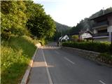 2
2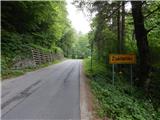 3
3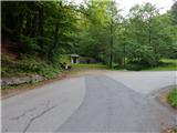 4
4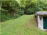 5
5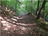 6
6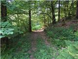 7
7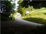 8
8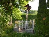 9
9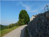 10
10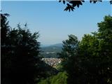 11
11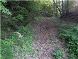 12
12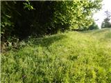 13
13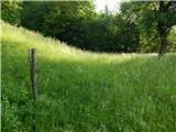 14
14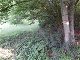 15
15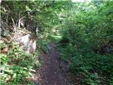 16
16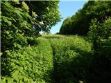 17
17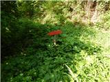 18
18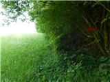 19
19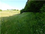 20
20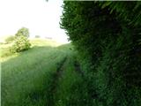 21
21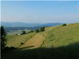 22
22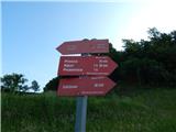 23
23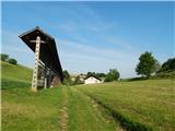 24
24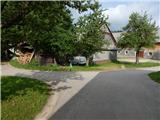 25
25 26
26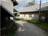 27
27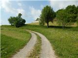 28
28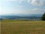 29
29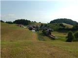 30
30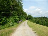 31
31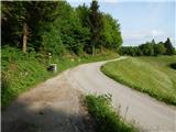 32
32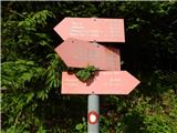 33
33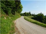 34
34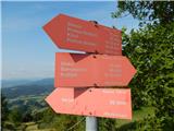 35
35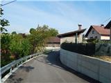 36
36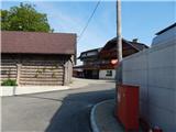 37
37 38
38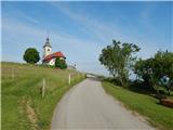 39
39 40
40 41
41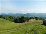 42
42