Zalog - Polhograjska Gora (Sveti Lovrenc) (steep path)
Starting point: Zalog (448 m)
Starting point Lat/Lon: 46.0664°N 14.2778°E 
Path name: steep path
Time of walking: 1 h 25 min
Difficulty: partly demanding marked way
Difficulty of skiing: no data
Altitude difference: 376 m
Altitude difference (by path): 400 m
Map: Ljubljana - okolica 1:50.000
Access to starting point:
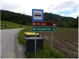
From highway Ljubljana - Koper we go to the exit Brezovica, and then we continue driving in the direction of Dobrova (to Dobrova we can come also from the direction Šentvid, namely through Podutik and through the mountain pass Preval) and Polhov Gradec. In Polhov Gradec at the bus stop, we continue right towards Črni Vrh. The road further steeply ascends, and then it flattens and leads us through the castle yard. A quite gentle road then leads us through the valley of Velika Božna, and we are driving there to a hamlet Zalog, where we notice signs for Sveti Jurij and Polhograjska Gora, which point us to the left. At the mentioned crossroad, there is the beginning of our path, and because here aren't any parking spots, we have to park already a little lower on one of the appropriate places by the road.
Path description:
From the starting point, so from the crossroad, where we notice signs for the church of St. Jurij and Polhograjska Gora we go on a side road (by the crossroad there are also signs for village Praproče), which at first leads past few houses, and then starts moderately ascending. At first, a nice view opens up also towards our destination, after that the view is only towards the west and north, where we clearly see the church of St. Lenart above Črni Vrh. On parts quite a panoramic road, higher brings us in the village Praproče, and only few meters before the triangular crossroad, by which there are numerous hiking signposts, we turn sharply left on a cart track, beginning of which is still before the first house in the village (beginning of the path isn't marked, and also further, the blazes are very rare).
Cart track at first runs through a meadow, and then passes into the forest through which is slightly ascending and occasionally descending. Higher, the cart track becomes steeper and passes on the northern side of Praproški grič (709 meters). Next follows few minutes of a moderate ascent, and then we get to the saddle between the already mentioned peak on the right and Polhograjska Gora (824 meters) on the left.
On the saddle, we join the path from Praproče or Briše, and only few steps further we get to a gate.
Right in front of a gate, we go left in the direction of demanding path (straight Sveti Lovrenc easier approach) and we continue the ascent on an increasingly steep path. The path which mostly runs through a pine forest, higher ascends even steeper and crosses a short exposed slope (mainly in wet great risk of slipping). Higher, the path slightly flattens and passes on the ridge of Polhograjska Gora. Ahead the path brings us out of the forest and after a shorter further ascent leads to the wall of the church of St. Lovrenc. Here with the help of few footholds and holds, we climb the mentioned walls and we step on a panoramic peak.
Pictures:
 1
1 2
2 3
3 4
4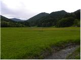 5
5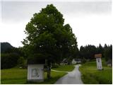 6
6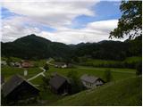 7
7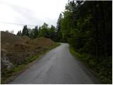 8
8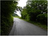 9
9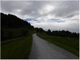 10
10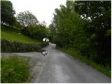 11
11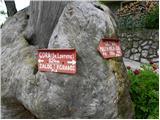 12
12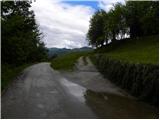 13
13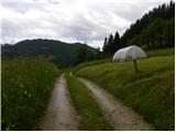 14
14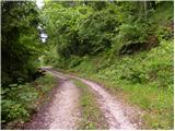 15
15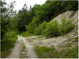 16
16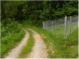 17
17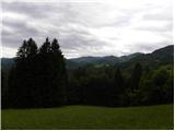 18
18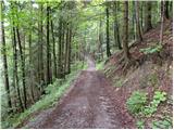 19
19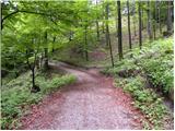 20
20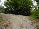 21
21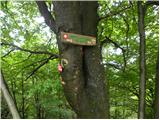 22
22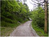 23
23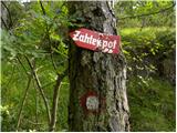 24
24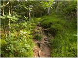 25
25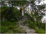 26
26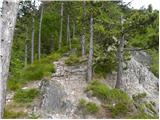 27
27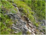 28
28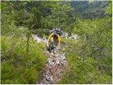 29
29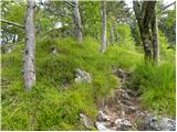 30
30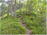 31
31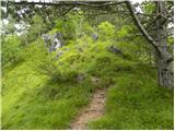 32
32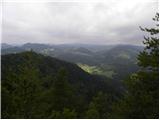 33
33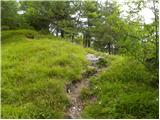 34
34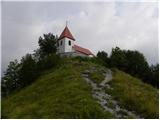 35
35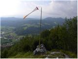 36
36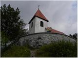 37
37 38
38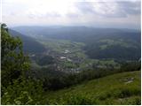 39
39