Starting point: Zavrate (552 m)
Starting point Lat/Lon: 46.1611°N 15.1522°E 
Time of walking: 40 min
Difficulty: easy marked way
Difficulty of skiing: easily
Altitude difference: 259 m
Altitude difference (by path): 260 m
Map:
Access to starting point:
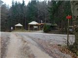
First, we drive to Laško, and then we continue driving in the direction of village Spodnja and Zgornja Rečica and Huda jama. In the village Zgornja Rečica we come to the unmarked crossroad, where we continue on the left road which we then follow to the saddle Zavrate, which we recognize by numerous mountain signposts and a log cabin by which there is an entrance into the mine Barbara rov (it is one of the entrances into the mine).
To the starting point, we can also come from Zasavje, if from Hrastnik we drive towards Rimske Toplice and Laško. When the road which leads from Hrastnik towards Laško starts descending, we will notice signs for village Sedraž, which point us to the left. After a little less than 100 meters of additional driving, we come to a crossroad, where we continue straight in the direction of village Brezno (left Brdce, right Sedraž). An ascending road soon brings us in Brezno, where we come to the unmarked crossroad. We continue left and follow the road ahead to a saddle Zavrate, where we park.
Path description:
From the saddle Zavrate we go on a wide cart track in the direction of Govško brdo. After a short ascent on the mentioned cart track, we notice the blazes, which point us slightly right on a little rough cart track which higher turns into a footpath. A well-marked path, which mainly runs through a dense forest, higher starts to ascend steeper. This relatively steep path, we then follow all the way to the top of Govško brdo, from which a nice view opens up on surrounding hills.
Pictures:
 1
1 2
2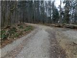 3
3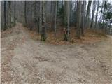 4
4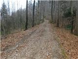 5
5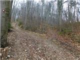 6
6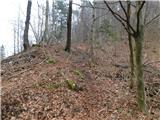 7
7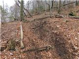 8
8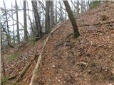 9
9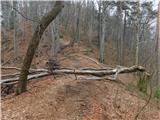 10
10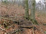 11
11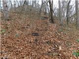 12
12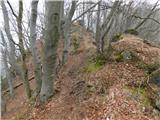 13
13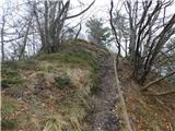 14
14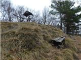 15
15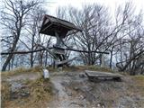 16
16