Zavrh pri Trojanah - Limbarska gora (via Golčaj)
Starting point: Zavrh pri Trojanah (609 m)
Starting point Lat/Lon: 46.1838°N 14.8718°E 
Path name: via Golčaj
Time of walking: 3 h 30 min
Difficulty: easy marked way
Difficulty of skiing: no data
Altitude difference: 164 m
Altitude difference (by path): 500 m
Map: Posavsko hribovje - zahodni del 1:50.000
Access to starting point:
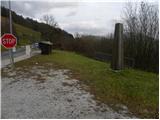
A) From highway Ljubljana - Maribor, we go to the exit Blagovica, and then we continue driving on the parallel old road towards Trojane. Before we come in Trojane, signs for Zavrh pri Trojanah, point us to the right on a narrower local road, by which we notice signposts for Doline and Stolp na Rebri. We can park already near the crossroad, more precisely by nearby monument, or we can drive with a car a little higher and then we park on an appropriate place by the road.
B) From highway Maribor - Ljubljana, we go to the exit Trojane, and then we continue driving on the parallel old road towards Domžale. At the end of Trojane, in the middle of the right turn, signs for Zavrh pri Trojanah point us to the left on a narrower local road, by which we notice signposts for Doline and Stolp na Rebri. We can park already near the crossroad, more precisely by nearby monument, or we can drive with a car a little higher and then we park on an appropriate place by the road.
Path description:
From the starting point, we continue on a narrower asphalt road, from which soon a nice view opens up on Trojane. Higher, the asphalt ends, and we continue on a macadam road in the direction towards Reber, Doline and Golčaj. Only a little further, the road turns to the right and passes into the forest, through which it starts ascending steeper. After a good 10 minutes of additional walking, the road flattens and it brings us to a crossroad, by which there is a smaller cross.
Here we continue slightly left (slightly right Doline) and we continue on a moderately ascending road, on which we quickly get to the next crossing at a larger quarry.
Here we continue right in the direction of Golčaj (sharply left Reber, left Kolovrat) and we continue on the road which starts moderately descending. During the descent from the right joins also the path past the farm Dolinar (Doline), and we follow the road to a smaller house, where we turn left upwards on the diagonally ascending cart track. Cart track already after few minutes brings us on a smaller saddle, where we continue right. Next follows few minutes of crossing, after that cart track changes into a footpath, on which we quickly get to the ridge Na škalah. We reach the ridge right on a smaller saddle, where we pass on the left south side of the ridge. When we step on the south side of the ridge, the path gradually starts descending diagonally. After a good 15 minutes of moderate descent, the path brings us out of the forest, on panoramic and relatively scenic slopes. We continue the descent on the scree and several smaller gullies to the forest, through which we quickly descend to the nearby macadam road.
When we step on the road, we follow it to the right, and we walk there to the village Borje pri Mlinšah. Here at the crossroad at the chapel, we continue right, and then past the church we walk above the village. On the road, we walk for few minutes, and then signs for Golčaj point us slightly to the left on a footpath which at first gently ascends, and then moderately descends to other, at first still asphalt road. Asphalt soon ends, and also the road after few minutes of ascent for some time starts descending. Even a little further, we get to a smaller crossroad, where we continue slightly right on a marked road, and it quickly brings us to the church of St. Neža on Golčaj.
From the church, we continue in the direction of the summit Golčaj and on a little steeper path in two minutes of additional walking, we ascend on Golčaj, where there are inscription box and NOB monument.
From the top of Golčaj we continue left downwards, where we quickly get to a marked crossing, where join the path from Blagovica and the path from the church of St. Neža (path, which bypasses the peak Golčaj).
From the crossing, we continue on a wide marked path in the direction of Limbarska gora. The path ahead for some time runs almost horizontal, and then it starts considerably descending. A well-marked path, which has quite a few crossings, soon flattens and past a cross brings us to an asphalt road which runs on Limbarska gora. We for some time continue on the mentioned road, and then at the smaller hamlet blazes point us to the right downwards on a macadam road. Next follows a short descent, and then the road turns at first to the left and then also to the right and then in a moderate ascent brings us to the next hamlet. Here we walk through few yards, and then blazes point us on a grassy cart track, on which through a panoramic slope we return on an asphalt road. Next follows a short gentle ascent and the path brings us to the inn and church on the top of Limbarska gora.
Pictures:
 1
1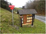 2
2 3
3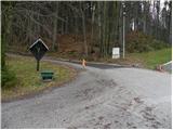 4
4 5
5 6
6 7
7 8
8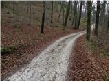 9
9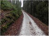 10
10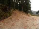 11
11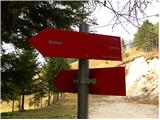 12
12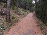 13
13 14
14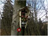 15
15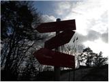 16
16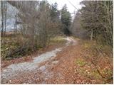 17
17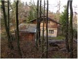 18
18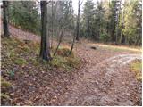 19
19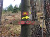 20
20 21
21 22
22 23
23 24
24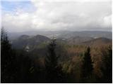 25
25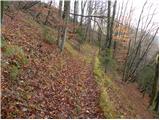 26
26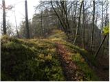 27
27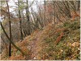 28
28 29
29 30
30 31
31 32
32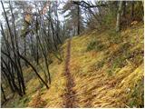 33
33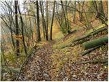 34
34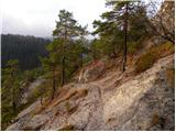 35
35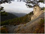 36
36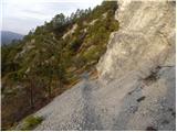 37
37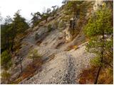 38
38 39
39 40
40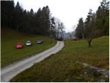 41
41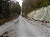 42
42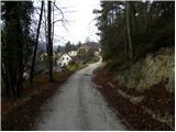 43
43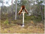 44
44 45
45 46
46 47
47 48
48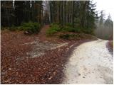 49
49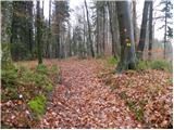 50
50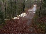 51
51 52
52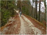 53
53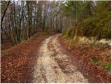 54
54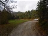 55
55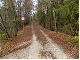 56
56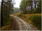 57
57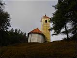 58
58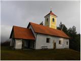 59
59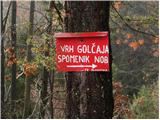 60
60 61
61 62
62 63
63 64
64 65
65 66
66 67
67 68
68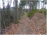 69
69 70
70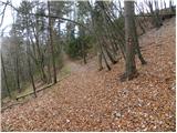 71
71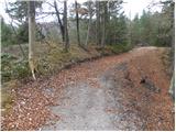 72
72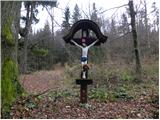 73
73 74
74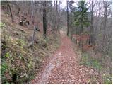 75
75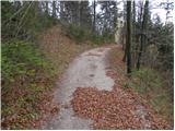 76
76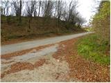 77
77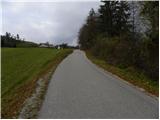 78
78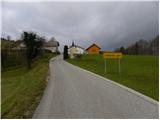 79
79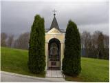 80
80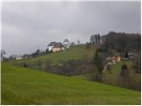 81
81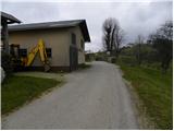 82
82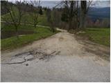 83
83 84
84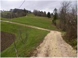 85
85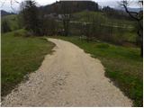 86
86 87
87 88
88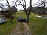 89
89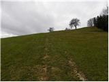 90
90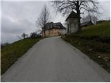 91
91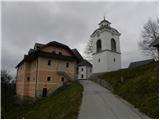 92
92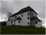 93
93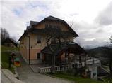 94
94 95
95