Žerjav - Mučevo Gorge (Ferata Mučevo - red path)
Starting point: Žerjav (530 m)
Starting point Lat/Lon: 46.49021°N 14.87166°E 
Path name: Ferata Mučevo - red path
Time of walking: 1 h 40 min
Difficulty: extremely difficult marked way
Ferrata: E
Difficulty of skiing: no data
Altitude difference: 160 m
Altitude difference (by path): 160 m
Map: Koroška 1:50.000
Access to starting point:
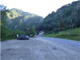
A) We drive to Mežica, and then we continue driving in the direction of Črna na Koroškem. A little before the settlement Žerjav at the road sign 8km we will on the right side of the road notice a larger macadam parking lot where we park.
B) From Šoštanj over mountain pass Sleme (mountain pass near of which there is a mountain hut Andrejev dom na Slemenu) we drive to Črna na Koroškem, where at the roundabout we take the exit in the direction of Mežica. A little after the end of the settlement Žerjav we will on the left side of the road notice a larger macadam parking lot where we park.
C) From Solčava over mountain pass Spodnje Sleme we drive to Črna na Koroškem, where at the roundabout we take the exit in the direction of Mežica. A little after the end of the settlement Žerjav we will on the left side of the road notice a larger macadam parking lot where we park.
Path description:
From the parking lot, we at first carefully cross the main road, and then we continue on a sidewalk by the retaining wall in the direction of Mežica. By the main road we walk approximately 200 meters and then we on the right side notice an information board and footpath which leads towards the secured climbing path Ferata Mučevo.
We go on the mentioned footpath which quickly brings us to a marked crossing where to the right over a small bridge branches off an easier variant of the climbing path (marked with blue color), and we go left on a harder path which is marked with red color.
From the crossing, we short time still walk through the gorge, after that on our right we notice the beginning of a secured part of the path. If we continue ahead through the gorge, we can on an easier path bypass the initial ascent of difficulty E. The secured path is otherwise already in the very beginning extremely demanding and vertically ascends by the steel cable (difficulty E). Climbing can be difficult also because on this part the rock is often wet. After the initial demanding ascent we continue to the left where joins the mentioned path which bypasses the initial ascent.
Next follows another shorter demanding ascent (difficulty D), and then follows a little less demanding crossing to the left. The path which is less demanding but in parts exposed then brings us to the first bridge.
Before the bridge the path again splits. To the right leads an easier variant, and we continue left over a small bridge, which crosses a narrow gorge. On the other side follows more demanding ascent on almost vertical plates, which brings us to the second bridge (difficulty D). Over the bridge we again cross the gorge to the right side where from the right side joins the mentioned easier variant. Next follows an ascent on a steep slope and then a shorter crossing to the right, which brings us in front of demanding overhang (difficulty E). Overhang we can bypass on the left side where runs a little easier path.
Above the overhang the path becomes for some time less demanding and then turns slightly to the right where on a grassy terrain ascends diagonally by the steel cable. The path then brings us to the last more demanding ascent. A relatively short vertical ascent brings us on the ridge where there is an inscription box. Here our path also joins the easier blue path. The last shorter vertical ascent we can otherwise bypass on the right side.
From the inscription box follows crossing of a little longer bridge and then also a shorter less demanding ascent on the ridge. The secured path then ends and the path brings us into the forest where by the path there is also a bench.
Further, the path starts descending and a little before the cart track we will get to a crossing where signs point us to the right downwards on a narrow footpath. The mentioned footpath is often muddy and it can be very slippery. Mainly in the upper part we also get help from a rope. This path we then follow into the valley all the way to the parking lot.
Described secured climbing path is extremely demanding graded with difficulty level E. All the hardest spots we can otherwise bypass, in this case the path has difficulty D.
To the entrance into a climbing part there is approximately 10 minutes of walking. The estimated climbing time is 1h 30 min, and 20 minutes for the descent.
Pictures:
 1
1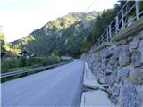 2
2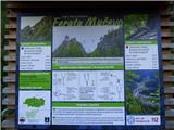 3
3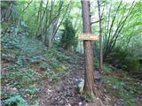 4
4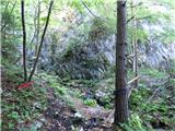 5
5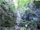 6
6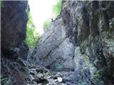 7
7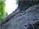 8
8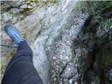 9
9 10
10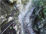 11
11 12
12 13
13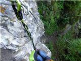 14
14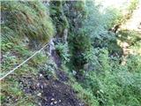 15
15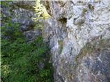 16
16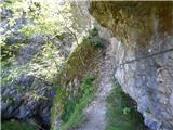 17
17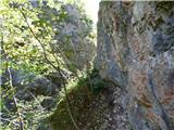 18
18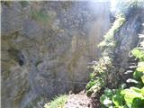 19
19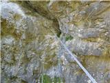 20
20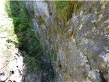 21
21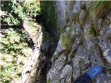 22
22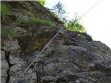 23
23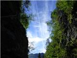 24
24 25
25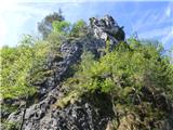 26
26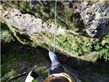 27
27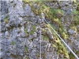 28
28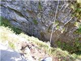 29
29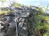 30
30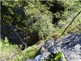 31
31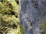 32
32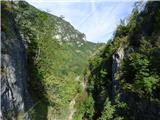 33
33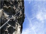 34
34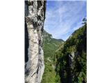 35
35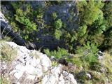 36
36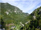 37
37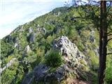 38
38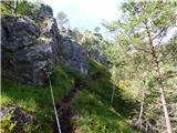 39
39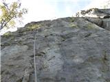 40
40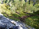 41
41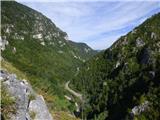 42
42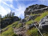 43
43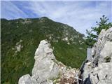 44
44 45
45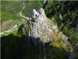 46
46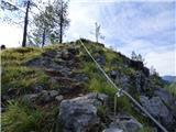 47
47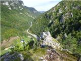 48
48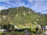 49
49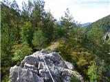 50
50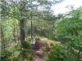 51
51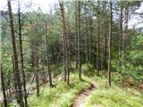 52
52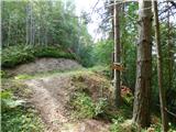 53
53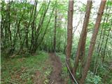 54
54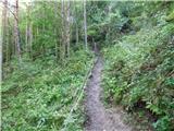 55
55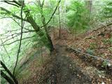 56
56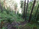 57
57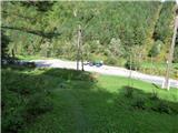 58
58