Starting point: Žetale (326 m)
Starting point Lat/Lon: 46.2743°N 15.79171°E 
Time of walking: 1 h 45 min
Difficulty: easy pathless terrain
Difficulty of skiing: no data
Altitude difference: 392 m
Altitude difference (by path): 400 m
Map:
Access to starting point:
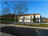
We leave Podravska highway at exit Zakl, and then we follow the signs for Žetale. When we get to Žetale, at municipal building we turn left and we park on a settled asphalt parking lot. We can also park on a parking lot at the primary school.
Path description:
From the spot, where we've parked, we at first walk to the signposts and information boards, which are situated on the opposite side of the main road at the primary school, and from there we go on a grassy cart track in the direction of source of Sotla and Forest teaching trail K debeli bukvi. Cart track at first leads below the church of St. Mihael and below the cemetery, and then a less distinct path turns right towards the stream Rogatnica, which we cross over a wooden bridge. After the bridge, the path turns left and it ascends into the forest, where the path becomes easier to follow. Next follows an ascent through the forest, where we follow the signs in the shape of yellow mushrooms (yellow mushrooms are signs of Forest teaching trail) and signs for source of Sotla, and the path leads us past few information boards of the mentioned trail.
When higher at the 6th point of the learning trail we reach the forest road, the path towards the source of Sotla from the mentioned path branches off to the left.
The forest learning trail continues on the road to the right, and we follow the road to the left. Next follows some crossing towards the left and from the left joins also the other path from Žetale, which is marked with yellow signposts and leads towards border crossing Gruškovje and Sveti Avguštin. We short time still continue with the crossing, and then the road splits. We continue slightly right on the upper road which after few minutes of ascent turns sharply to the right. Higher, we go once again right (sharply left - paragliding site Macelj), and then on a bad road we continue crossing towards the right. We walk on the road to the spot, where signs for source of Sotla point us to the left on a footpath which ascends steeply above the road. Because the turn-off from the road is already worn out and unmaintained, mainly in wet there is a greater danger of slipping. Further, we are few minutes ascending diagonally through the forest on still quite steep slope, and then we cross a cart track. Also the spot, where we leave the cart track is steep, and we still follow the signs for source of Sotla. Next follows also a shorter steep ascent on unmaintained path and we reach the ridge of Macelj, which we reach on a smaller saddle west from Maceljska gora, where stands a wooden bench.
We go left and we continue walking by the national border (straight downwards - source of Sotla 5 minutes). Further, we walk on pathless terrain and on the ridge of Macelj. In few minutes we get to the western secondary peak of Maceljska gora, and few minutes ahead we get to Maceljska gora.
Description and pictures refer to a condition in January 2023.
Pictures:
 1
1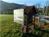 2
2 3
3 4
4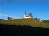 5
5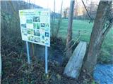 6
6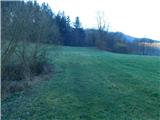 7
7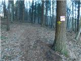 8
8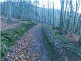 9
9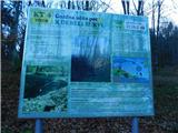 10
10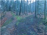 11
11 12
12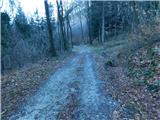 13
13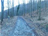 14
14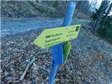 15
15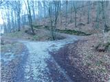 16
16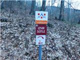 17
17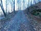 18
18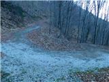 19
19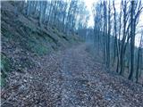 20
20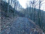 21
21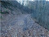 22
22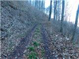 23
23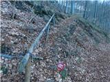 24
24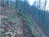 25
25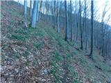 26
26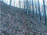 27
27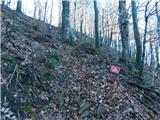 28
28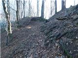 29
29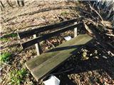 30
30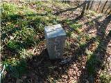 31
31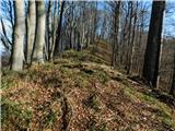 32
32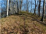 33
33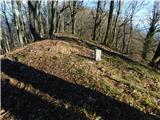 34
34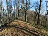 35
35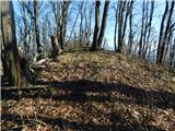 36
36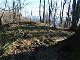 37
37