Zgornje Poljčane - Baba (pri Boču) (Detičkova pot)
Starting point: Zgornje Poljčane (360 m)
Starting point Lat/Lon: 46.2971°N 15.5834°E 
Path name: Detičkova pot
Time of walking: 40 min
Difficulty: easy unmarked way
Difficulty of skiing: no data
Altitude difference: 234 m
Altitude difference (by path): 240 m
Map: Posavsko hribovje (Boč - Bohor) 1:50.000
Access to starting point:
Path description:
Pictures:
 1
1 2
2 3
3 4
4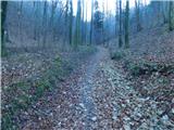 5
5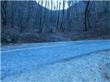 6
6 7
7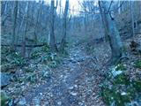 8
8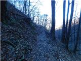 9
9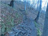 10
10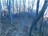 11
11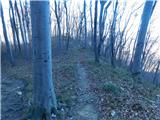 12
12 13
13 14
14