Zreče (church of St. Egidij) - Sveti Martin (Zlakova) (on PP4)
Starting point: Zreče (church of St. Egidij) (395 m)
Starting point Lat/Lon: 46.37444°N 15.38913°E 
Path name: on PP4
Time of walking: 40 min
Difficulty: easy marked way
Difficulty of skiing: no data
Altitude difference: 194 m
Altitude difference (by path): 194 m
Map: Pohorje 1:50.000
Access to starting point:
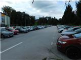
We leave Štajerska highway at exit for Slovenske Konjice, and then we follow the signs for Zreče. When we arrive in Zreče from the roundabout near the Spar store, we take the exit for the industrial zone, then descend to the parking lot located between the parish church and the Zreče primary school.
Path description:
From the parking lot, we first walk to Okrepčevalnica Živ - Žav, then turn right and cross the river Dravinja.
Immediately after the bridge, we turn right (straight ahead continues the marked path towards Rogla), and a few steps further, we turn left onto the road, which has signs for the church of St. Martin and the church of the Mother of God. Continuing, we walk on the path PP4, which leads towards Črešnova, and we gradually begin to steeply ascend a narrower asphalt road that passes by a few houses. Higher up, a beautiful view of Zreče opens from the path, and a bit further, we reach a marked crossroad where we choose the left path (to the right is the church of the Mother of God on Binjeva gora).
From here, a short ascent follows, and we arrive at Hram Zimrajh, where we turn left by the inn, then ascend briefly along the edge of the forest and across a meadow to the nearby church of St. Martin, located on a scenic hill.
The description and pictures refer to the conditions in September 2022 and 2024.
Pictures:
 1
1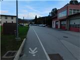 2
2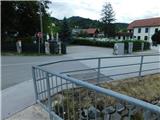 3
3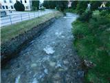 4
4 5
5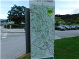 6
6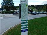 7
7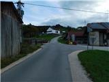 8
8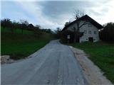 9
9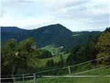 10
10 11
11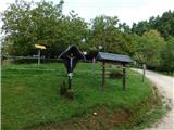 12
12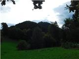 13
13 14
14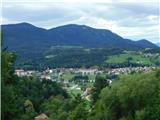 15
15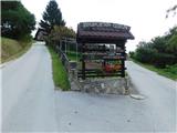 16
16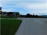 17
17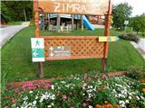 18
18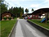 19
19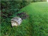 20
20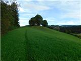 21
21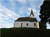 22
22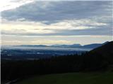 23
23