Zvodno - Grmada above Celje (via Suhi potok)
Starting point: Zvodno (254 m)
Starting point Lat/Lon: 46.21223°N 15.27846°E 
Path name: via Suhi potok
Time of walking: 1 h 15 min
Difficulty: easy marked way
Difficulty of skiing: no data
Altitude difference: 464 m
Altitude difference (by path): 464 m
Map: Celjska kotlina, 1:50000
Access to starting point:
From highway Ljubljana - Maribor, we go to the exit Celje - center and we continue driving in the direction Laško and Zidani Most. The road ahead leads through the center of Celje, and then it brings us to a roundabout with a fountain. Here we continue "straight" (direction Laško and Zidani Most) and we follow the road to the next traffic light crossroad, where we continue left, we drive over the river Savinja and then at the crossroad behind the bridge we continue right. Further, we get to the underpass under the railway track and only few meters ahead to the fire station in Zagrad. We continue straight and we follow the road through the village, and higher it brings us to a smaller crossroad, where we notice signs for Suhi potok - right, Hudičev graben - straight. At the crossroad, we park near the bus stop.
Path description:
In Zvodno, at the crossroad at the bus stop in accordance with the signposts we continue to the right in the direction of the mountain hut Pečovniška koča and Grmada (and at the same time in the direction of the stream Suhi potok - once there was a visible caption on a concrete retaining wall), straight on the asphalt, the path goes towards Hudičev graben, on which we can also come on Grmada. We follow the macadam grounding or forest road few hundred meters. At the marked crossing we continue left and a little upwards on a forest path or riverbed of the stream Suhi potok. Further once again a little to the left (to the right we come into an abandoned quarry) and we follow hiking forest path upwards, where on the left side we bypass the quarry. The path is well hardened and marked. It is pleasantly winding along the riverbed of the stream Suhi potok higher into the area between Bavč on the left side and Grmada on the right side. We soon reach the crossing, we continue right in the direction of the mountain hut Pečovniška koča and Grmada, while the path to the left leads on Tolsti vrh, Srebotnik, Bavč etc. The path is further a little narrower and crosses the steepness of the forest upwards. We reach a meadow part and we already see the mountain hut Pečovniška koča. A little to the left and somewhere right upwards to the mountain hut Pečovniška koča. From the mountain hut, we continue on a wide path, which is at first ascending gently towards the summit of Grmada. After a good five minutes of walking the path narrows and ascends on a secondary peak, from which the path slightly descends. Next follows few minutes walk on vegetated east ridge of Grmada, from which occasionally a view opens up a little into a valley. And a pleasant path then steeply ascends and after few minutes of additional walking brings us to the summit, where there is an inscription book, stamp, from far recognizable big cross, a wish bell and a fantastic view above Celje and surrounding hills.
On the way: Pečovniška koča na Grmadi (620m), Bavč (692m)
Pictures:
 1
1 2
2 3
3 4
4 5
5 6
6 7
7 8
8 9
9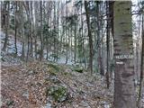 10
10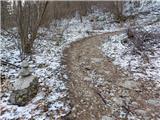 11
11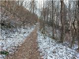 12
12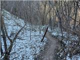 13
13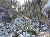 14
14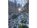 15
15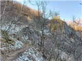 16
16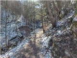 17
17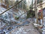 18
18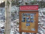 19
19 20
20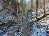 21
21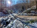 22
22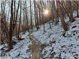 23
23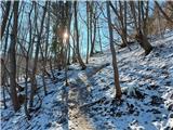 24
24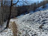 25
25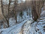 26
26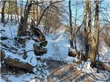 27
27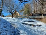 28
28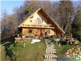 29
29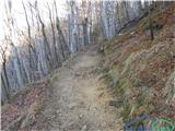 30
30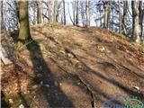 31
31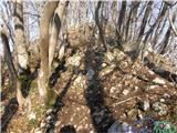 32
32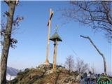 33
33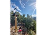 34
34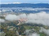 35
35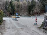 36
36