Nida - Timios Stavros / Psiloritis (Kreta)
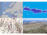
Starting point: Nida (1375 m)
Starting point Lat/Lon: 35.20687°N 24.83502°E 
Time of walking: 4 h 15 min
Difficulty: easy marked way
Difficulty of skiing: no data
Altitude difference: 1081 m
Altitude difference (by path): 1220 m
Map: Anavasi 11.14
Access to starting point:
Nida plateau is the starting point. Drive from Heraklion to the settlement of Anogia and then to Nida plateau (which is already in Rethimno area). The road is paved all the way.
Path description:
Park your car and walk to the start of the gravel road. There you will see signs that will direct you right to the path that soon crosses the road; twice; afterward you will pass a church, Analipsi, and join the road again. After the road turn you will see two signs, one for Timios Stavros (highest peak in Psiloritis range and Crete island) and one for the cave.
Follow the sign for Tinios Stavros until the road turns right, and join the trail. From this point on, the trail is marked with two red dots, and sometimes a yellow arrow. A well-marked trail crosses the slope while gaining altitude to the southwest, and later to the northwest, where you will find yourself in small mountain valleys, all green with small thorny vegetation. Follow these valleys west until the mountain saddle at 1920 meters of altitude. At this point, follow the descending trail southwest to about 100 meters lower altitude (It is also possible to go north. But that trail is poorly marked that way, and you will also lose the altitude later on).
In the continuation, the mountain valleys are somewhat bigger; the vegetation is also concentrated just around the trail. Your direction will begin to slowly change from west to the north. When that happens, cross the beautiful basin, and reach the saddle, where you can see the Timios Stavros to the west. From here on, it is more windy, and you need to ascend about 100 meters to the saddle between Timios Stavros and Agathias (you will see the southern part of Crete from this point).
From the saddle, continue west (another 100 m of altitude) to Timios Stavros.
The description and images refer to the situation from August 2022.
On the way: Analipsi (1413m)
Pictures:
 1
1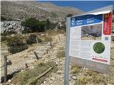 2
2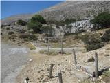 3
3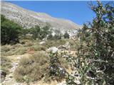 4
4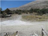 5
5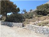 6
6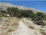 7
7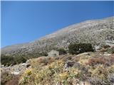 8
8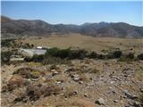 9
9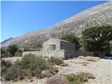 10
10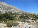 11
11 12
12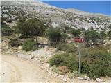 13
13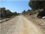 14
14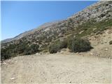 15
15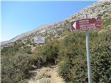 16
16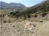 17
17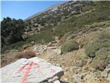 18
18 19
19 20
20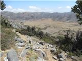 21
21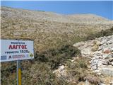 22
22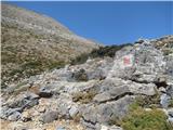 23
23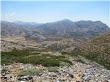 24
24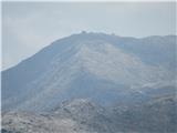 25
25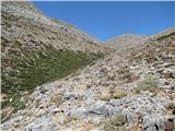 26
26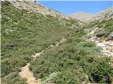 27
27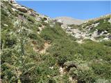 28
28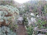 29
29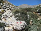 30
30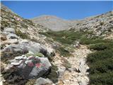 31
31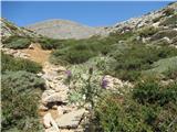 32
32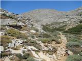 33
33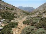 34
34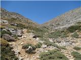 35
35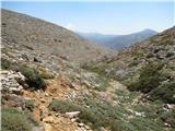 36
36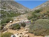 37
37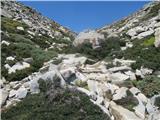 38
38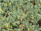 39
39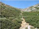 40
40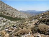 41
41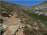 42
42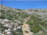 43
43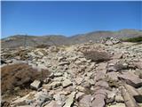 44
44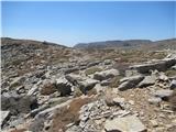 45
45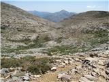 46
46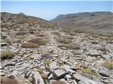 47
47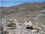 48
48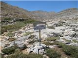 49
49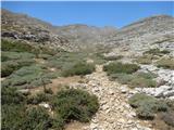 50
50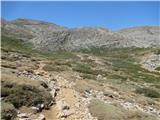 51
51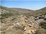 52
52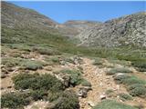 53
53 54
54 55
55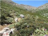 56
56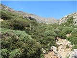 57
57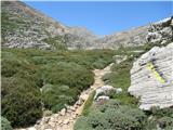 58
58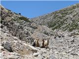 59
59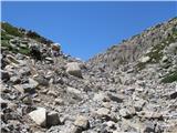 60
60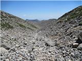 61
61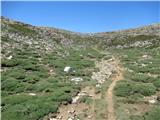 62
62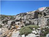 63
63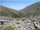 64
64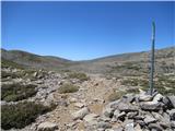 65
65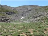 66
66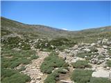 67
67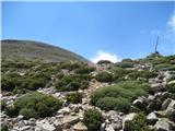 68
68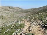 69
69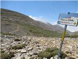 70
70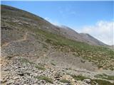 71
71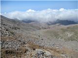 72
72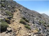 73
73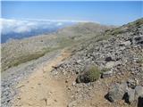 74
74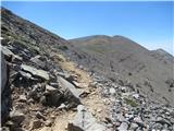 75
75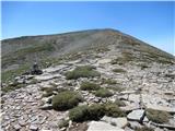 76
76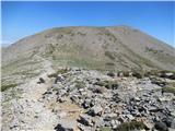 77
77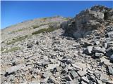 78
78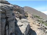 79
79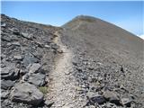 80
80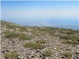 81
81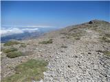 82
82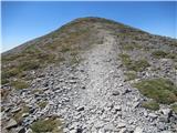 83
83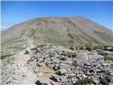 84
84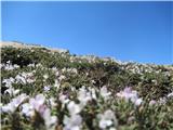 85
85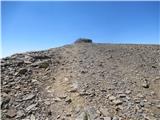 86
86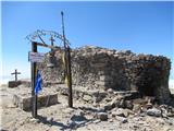 87
87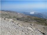 88
88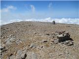 89
89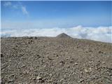 90
90 91
91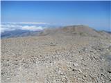 92
92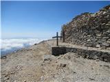 93
93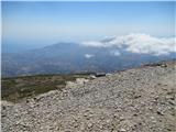 94
94 95
95 96
96 97
97 98
98 99
99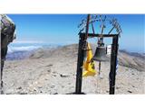 100
100