Snack Bar Zelena dolina - Boč (via Balunjača)
Starting point: Snack Bar Zelena dolina (360 m)
Starting point Lat/Lon: 46.27435°N 15.69302°E 
Path name: via Balunjača
Time of walking: 3 h 40 min
Difficulty: easy marked way
Difficulty of skiing: no data
Altitude difference: 618 m
Altitude difference (by path): 860 m
Map:
Access to starting point:
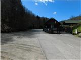
From the road Rogatec - Majšperk, on the southern side of the settlement Stoperce, we turn left towards the snack bar Zelena dolina (from the direction of Majšperk, we turn right). Next follows a light to moderate ascent along the stream Beneščica, and we arrive at the parking lot by the snack bar Zelena dolina.
Path description:
From the parking lot, we continue on the road ahead, and by the path, we are accompanied by blazes, which higher up direct us left from the road onto a footpath that initially steeply ascends through the forest. A few minutes ahead, we return to the asphalt road, but after a few steps, we leave it and, in the middle of a right turn, continue straight on a marked cart track that ascends diagonally below the route of a high-voltage power line. A little further, the cart track widens into a road, and we follow it to the left, where we cross the slopes towards the left.
During the crossing, we pass by a holiday cottage, then continue through the forest, where the path also leads us past the NOB monument. When the crossing ends, behind a homestead, we reach a marked junction, where we turn right towards Boč (left Ložno and Donačka gora).
Next follows an ascent on the asphalt road, from which a nice view of the surrounding hills occasionally opens up, and higher up, the road flattens and leads us past a chapel to the hamlet Ravnocerje.
Here, we go behind the homestead on the right, turning right onto a marked cart track, which we follow to ascend to a marked junction, where we join the path from Cerovec pod Bočem.
The path ahead ascends diagonally along a cart track and quickly brings us to the ridge west of Ravnocerje. Here, the path turns slightly to the left (sharply right to the peak Ravnocerje, 3 minutes) and leads us past a stream, which we see below the path. For a short time, we continue along the forested ridge, then the path turns right and moves onto a slope, where at several junctions we follow the blazes. Higher up, we leave the cart track to the left onto a marked footpath (the cart track soon joins a forest road), and along the path, we notice a sign indicating the Boč forest reserve. The path continues on the left, sunny side, bypassing the highest point of Plešivec, located on an indistinct summit, and then we gradually begin to descend. Lower down, we reach a marked junction where we join the path from Cerovec pod Bočem, and we continue to a nearby road.
When we reach the road, we go left, and we go left also at the nearby crossroad (right - Makole). Next follows some descent on a macadam road, and when we leave the forest, past a religious symbol we get to a crossroad, at which we go straight (to the left leads the road into a valley in the direction of Rogaška Slatina) and on the left side we bypass homestead Gavez, and on the right the nearby hunting lodge Rogaška Slatina.
Behind the lodge we descend to another road and we follow it to the right. When the road starts ascending, the marked path branches off to the right, which leads towards Formila and Makole, and we continue on the asphalt road which starts ascending. After a short ascent the road splits, and we continue on a slightly left road which starts descending (slightly right road leads to a private house). Next follows a descent on the macadam road which a little lower brings us to a crossroad, where we go right downwards in the direction of Boč. Further we are still descending, and at the next crossroad, where we join the path from Makole we go left. And only a little ahead we go right. From the last crossroad we walk on the road only a short time, and then we go left on a marked path, which on a cart track ascends to the spot, where used to be a forestry cottage, and now there is a new cottage (condition May 2022).
Here we again step on the road which we follow to the left (across the road leads an unmarked path on Boč, or we can join also the road which leads towards Boč). Further, we walk on the road which crosses slopes of Boč towards the left, and there we are at first still gently ascending, and later we also descend a little.
Few 10 strides before we reach an asphalt road, the path Senčna pot branches off to the right on Boč, and we continue to the road, where we continue right. When the road turns left, we go slightly right and we continue on a cart track which goes into the forest, and at the crossing, we go right in the direction of the path via Balunjača and in the direction of the climbing path on Boč (left downwards - Dom na Boču - 2 minutes).
Then follows few minutes of a diagonal ascent towards the left, and higher from the left joins the path from the valley (starting point Zgornje Poljčane).
Here we go from the cart track right on a footpath in the direction of Boč, and further at the crossings we follow the path via Balunjača. The path via Balunjača then leads us through a shorter secured part, where the path isn't very demanding, but on this part it is exposed to falling stones. Higher, we again join the steep and climbing path, which branched off from our path.
The steepness of the path then gradually decreases and the path brings us on a cart track which is gently ascending by the military area. When we leave the vicinity of military area follows only five minutes of walking on the upper, still forested ridge. When we reach the peak we can ascend also on a lookout tower, from which a nice view opens up on all sides.
Pictures:
 1
1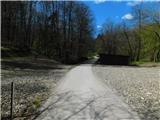 2
2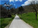 3
3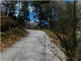 4
4 5
5 6
6 7
7 8
8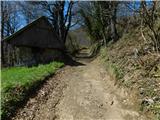 9
9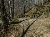 10
10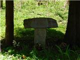 11
11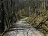 12
12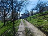 13
13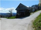 14
14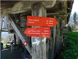 15
15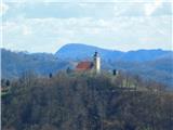 16
16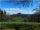 17
17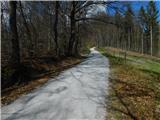 18
18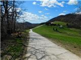 19
19 20
20 21
21 22
22 23
23 24
24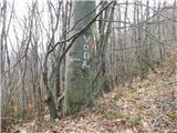 25
25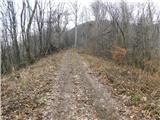 26
26 27
27 28
28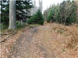 29
29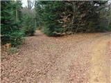 30
30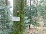 31
31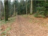 32
32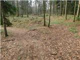 33
33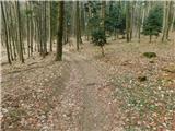 34
34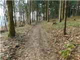 35
35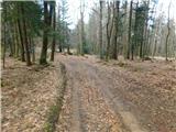 36
36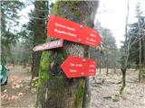 37
37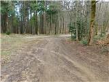 38
38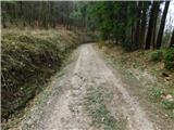 39
39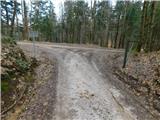 40
40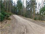 41
41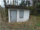 42
42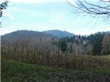 43
43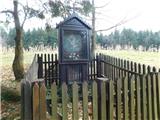 44
44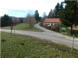 45
45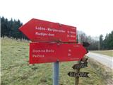 46
46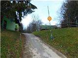 47
47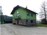 48
48 49
49 50
50 51
51 52
52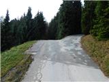 53
53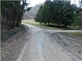 54
54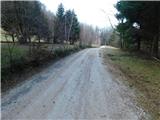 55
55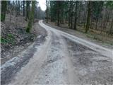 56
56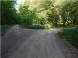 57
57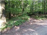 58
58 59
59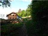 60
60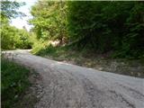 61
61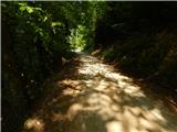 62
62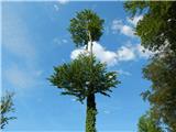 63
63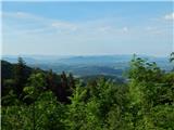 64
64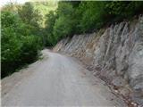 65
65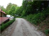 66
66 67
67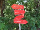 68
68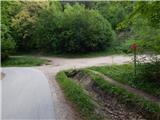 69
69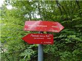 70
70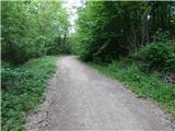 71
71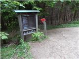 72
72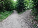 73
73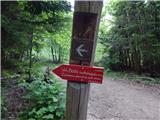 74
74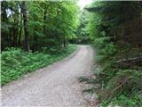 75
75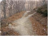 76
76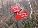 77
77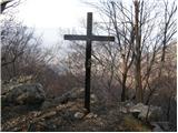 78
78 79
79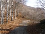 80
80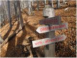 81
81 82
82 83
83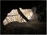 84
84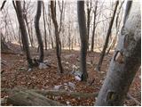 85
85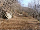 86
86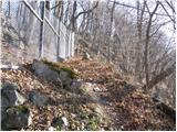 87
87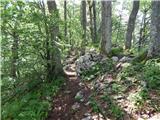 88
88 89
89 90
90 91
91 92
92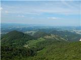 93
93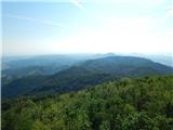 94
94