Parking Muritzen - Schmalzscharte (Muritzen - Mur source - Schmalzscharte)
Starting point: Parking Muritzen (1542 m)
Starting point Lat/Lon: 47.13324°N 13.40293°E 
Path name: Muritzen - Mur source - Schmalzscharte
Time of walking: 3 h 45 min
Difficulty: easy marked way
Difficulty of skiing: no data
Altitude difference: 902 m
Altitude difference (by path): 902 m
Map:
Access to starting point:
A) Through the Karawanks Tunnel, we drive to Austria, and then we continue driving on Tauern highway, on which we drive towards Salzburg. When we leave tunnel Katschbergtunnel we come to Austrian region Salzburg. At the first exit from the tunnel St. Michael im Lungau we leave the highway, where we pay road toll and we continue to the first crossroad. We turn left towards settlements Zederhaus and Muhr. Soon after that follows a bigger crossroad, where we again turn left towards the settlement Muhr. From here we continue through the settlement Muhr all the way to the end of the main asphalt road which is 23 km long and ends on the parking lot Muritzen, at the end of the parking lot there is a gate.
B) From Štajerska or Koroška, we at first drive to Dravograd and then over the border crossing Vič into Austria, where we then follow the signs for Celovec / Klagenfurt and further to Beljak (Villach). We continue driving on Tauern highway, on which we drive towards Salzburg. When we leave tunnel Katschbergtunnel we come to Austrian region Salzburg. At the first exit from the tunnel St. Michael im Lungau we leave the highway, where we pay road toll and we continue to the first crossroad. We turn left towards settlements Zederhaus and Muhr. Soon after that follows a bigger crossroad, where we again turn left towards the settlement Muhr. From here we continue through the settlement Muhr all the way to the end of the main asphalt road which is 23 km long and ends on the parking lot Muritzen, at the end of the parking lot there is a gate.
Path description:
The start is at the parking lot, which is located just by the river Mur. At the end of the parking lot, we cross the bridge and we go on the macadam road. We soon get to the first crossing, where we stick to the right direction Sticklerhütte. A slightly ascending macadam road leads us past the chapel Muritzen and ahead past the mountain pasture Zalussenalm all the way to the mountain hut Sticklerhütte. Before the mountain hut there is a crossing where we turn left to the hut, and to the right leads the path on Weißeck. Ahead from the hut the path leads us through pastures to the beginning of the Upper valley of river Mur, through which Mur is winding like a snake. The footpath which is slightly rising runs by the river Mur and crosses quite a few streams, which originate from the western mountain range. Few streams at higher water levels we need to cross a very carefully, because on some spots there is almost nowhere to step. After approximately an hour of walking, we come to a crossing, where we stick straight in the direction of notch Schmalzscharte. On the sign it is written Schmalzscharte 1:30 which is little misleadingly, because normal walk to the top lasts almost 2 hours. After a little less than half an hour of walking, we get to the source of river Mur, which is situated at an altitude 1898 meters.
From the source ahead a well-marked path starts steeply ascending. It runs on diverse terrain, full of large rocks and stones. From here we can already see the destination and bivouac below it. A little below the top there is usually snow all the way to summer, where we sometimes also need crampons, because under the snow there is often ice. When we come to bivouac Albert-Biwak 2420 meters we are basically at destination. Above it there is a notch Schmalzscharte 2444 meters from which a view opens up on the northern slopes of Großer Hafner and the peak Kölnbreinspitze. And below us there is lake Unterer Schwarzse, which is often frozen until the beginning of summer.
Parking lot Muritzen – Sticklerhütte 50 min; Sticklerhütte – Mur source 1:15; Mur source – Schmalzscharte 1:40.
On the way: Sticklerhütte (1752m), Izvir reke Mure (1898m)
Pictures:
 1
1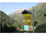 2
2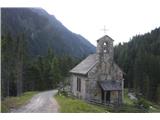 3
3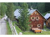 4
4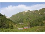 5
5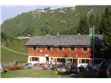 6
6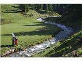 7
7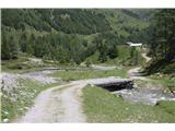 8
8 9
9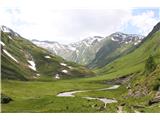 10
10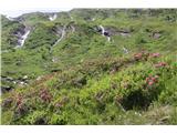 11
11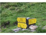 12
12 13
13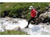 14
14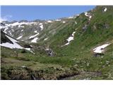 15
15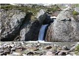 16
16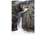 17
17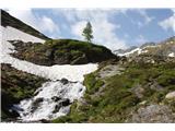 18
18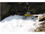 19
19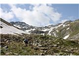 20
20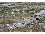 21
21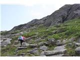 22
22 23
23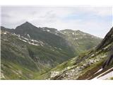 24
24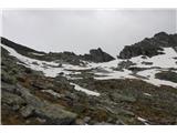 25
25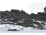 26
26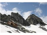 27
27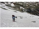 28
28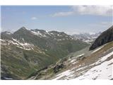 29
29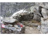 30
30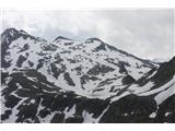 31
31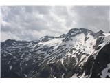 32
32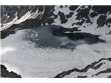 33
33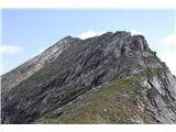 34
34