Podlehnik - Sveti Avguštin
Starting point: Podlehnik (230 m)
Starting point Lat/Lon: 46.33644°N 15.87839°E 
Time of walking: 3 h 30 min
Difficulty: easy marked way
Difficulty of skiing: no data
Altitude difference: 274 m
Altitude difference (by path): 450 m
Map:
Access to starting point:
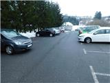
We leave Podravska highway at exit Podlehnik, and then we follow the signs for Podlehnik. We park at the appropriate place in the center of Podlehnik.
Path description:
From the center of Podlehnik we continue towards the south, and at the nearby roundabout we continue left in the direction of Zgornji Leskovec and the path among vineyards. We short time continue on the road towards Zgornji Leskovec, and then we go right in the direction of the path among vineyards. Further, we on the right side bypass the church of the Assumption of Mary, and at the next crossroads we follow the signs for the path among vineyards and the blazes.
A little further, the road splits into three branches, and we continue on the bottom road which for a short time continues without large changes in altitude, and then it starts ascending. Further we are still ascending, and at the crossroads, we follow the blazes. Higher, the road gradually flattens, and nice views are opening up on Haloze.
Next follows few shorter ascents and descents, and by the path also the first signs for Sveti Avguštin show up. When the road becomes a macadam it splits into two marked path.
The local blazes continue In the direction of straight, and we continue on the right road, by which Knafelc blazes continue. When we few minutes ahead leave the forest a nice view opens up towards Sveti Avguštin and Ravna gora, which is already on Croatian side of the national border. The road then leads us on slopes of Brezova gora (567 meters), where we reach a smaller saddle between the mentioned mountain and a smaller peak, where there are some houses.
Here we go slightly left on a cart track which crosses slopes below the hamlet, and we also go past the hunting observatory, and then the path passes into the forest, where we reach the border ridge. Next follows a walk on and by the national border between Slovenia and Croatia, where we are mostly moderately descending, and lower we reach a hamlet of few houses.
Here on a smaller saddle there is a wooden chapel, and we continue on at first a macadam road which on the left Slovenian side bypasses Vučja gora (459 meters). A little lower we go from the road right on a cart track, on which we slightly ascend and we return to the national border. The path ahead leads us on a macadam road, where we go past individual houses, and a little ahead we for a short time leave the road and we ascend by the power line. When at the holiday cottage we return on the road we go right and a little higher the road returns into the forest. In the forest, we reach a marked crossing, where we go straight (left downwards - Trdobojci and Videm), and a quite steep road soon turns sharply right, and higher at the farm also sharply left. Two more minutes of walking and past the inscription box we reach the church of St. Avguštin, from which a beautiful view opens up.
Description and pictures refer to a condition in January 2023.
Pictures:
 1
1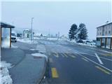 2
2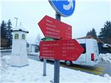 3
3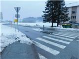 4
4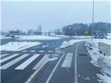 5
5 6
6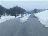 7
7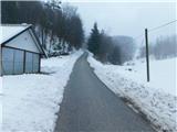 8
8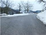 9
9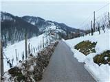 10
10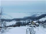 11
11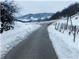 12
12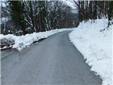 13
13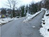 14
14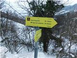 15
15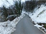 16
16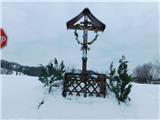 17
17 18
18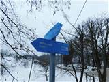 19
19 20
20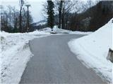 21
21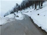 22
22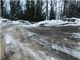 23
23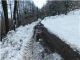 24
24 25
25 26
26 27
27 28
28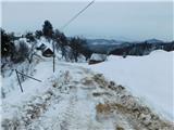 29
29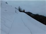 30
30 31
31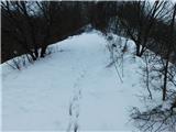 32
32 33
33 34
34 35
35 36
36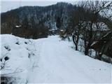 37
37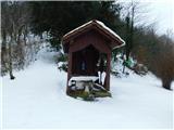 38
38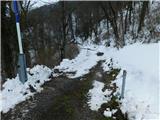 39
39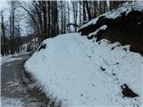 40
40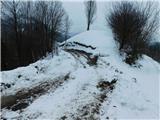 41
41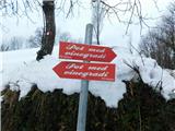 42
42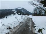 43
43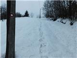 44
44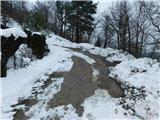 45
45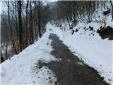 46
46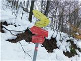 47
47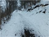 48
48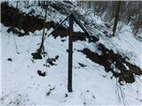 49
49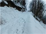 50
50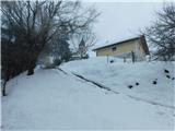 51
51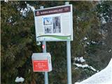 52
52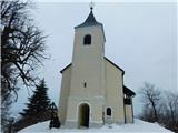 53
53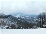 54
54