Radlje ob Dravi - Kapunar / Kapunerkogel
Starting point: Radlje ob Dravi (370 m)
Starting point Lat/Lon: 46.6148°N 15.225°E 
Time of walking: 2 h 15 min
Difficulty: easy marked way
Difficulty of skiing: no data
Altitude difference: 681 m
Altitude difference (by path): 681 m
Map:
Access to starting point:
From Maribor, we drive towards Dravograd. In the settlement Radlje ob Dravi we park on the parking lot in the center of the settlement, easiest at the church.
Path description:
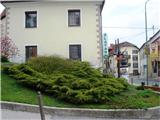
From the parking lot near the church we go on a marked path, at first a road through Radlje, and later the path branches off to the right. At the turn-off the blazes are a little poorly visible, therefore we have to pay attention.
The path goes past few houses, then we step into the forest. When we come out of the forest on the forest road, signs point us to Kapunar. We can choose between two paths, on the road which is longer and our path which at the water catchment goes into the forest.
The path is well marked and beaten, so it isn't hard to follow the.
After a shorter forested ascent we come on a panoramic meadow and to the farm.
When we come past the farm, the path immediately splits. We continue on the upper cart track. For some time the forest road and the footpath are taking turns, and later to an old border building we walk all the time on the forest road which isn't too steep.
From the border building to the top, the path isn't marked path, but the ascent to the top is so short, that we can ascend through any part of the forest. From the top, there isn't much of a view, but there is a beautiful view from the border building, which is used by amateur radio operators.
Pictures:
 1
1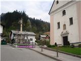 2
2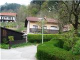 3
3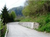 4
4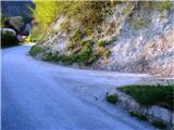 5
5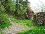 6
6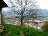 7
7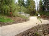 8
8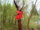 9
9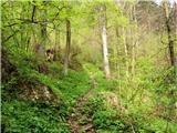 10
10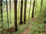 11
11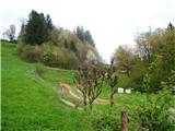 12
12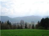 13
13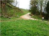 14
14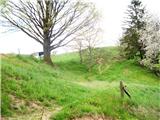 15
15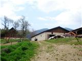 16
16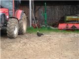 17
17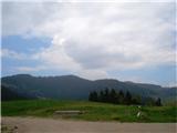 18
18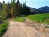 19
19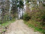 20
20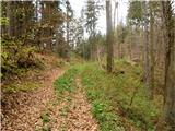 21
21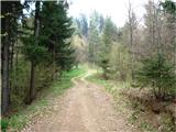 22
22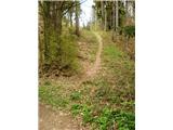 23
23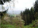 24
24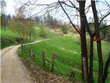 25
25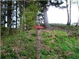 26
26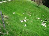 27
27 28
28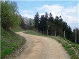 29
29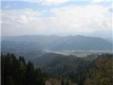 30
30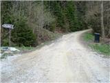 31
31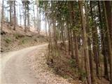 32
32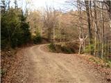 33
33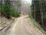 34
34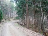 35
35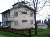 36
36 37
37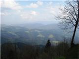 38
38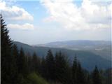 39
39 40
40