Stahovica - Sveti Primož nad Kamnikom
Starting point: Stahovica (430 m)
Starting point Lat/Lon: 46.2675°N 14.60323°E 
Time of walking: 1 h 10 min
Difficulty: easy marked way
Difficulty of skiing: easily
Altitude difference: 396 m
Altitude difference (by path): 396 m
Map: Kamniške in Savinjske Alpe 1:50.000
Access to starting point:
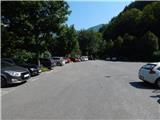
A) We drive to Kamnik, and then we follow the signs for Kamniška Bistrica. In Stahovica at the traffic light we turn left in the direction of kamniška Bistrica, and then few 10 meters further we park on the settled parking lot at Calcit.
B) We leave Štajerska highway at exit Vransko, and then we follow the road towards Kamnik. In Kamnik at the first traffic light we turn right, and then we follow the signs for Kamniška Bistrica. In Stahovica at the traffic light we turn left in the direction of kamniška Bistrica, and then few 10 meters further we park on the settled parking lot at Calcit.
C) We drive to Gornji Grad, and then over mountain pass Črnivec we drive towards Kamnik. Still before Kamnik, in the settlement Stahovica we turn right in the direction of Kamniška Bistrica, and then few 10 meters further we park on the settled parking lot at Calcit.
D) From Luče over mountain pass Volovljek (Kranjski Rak) we drive to Stahovica, where at the traffic light we turn right towards Kamniška Bistrica, and then few 10 meters further we park on the settled parking lot at Calcit.
Path description:
From the parking lot, we walk to the main road, and then we continue few 10 strides towards the traffic light. Still before the traffic lights we carefully cross the main road and we go on a steep road, by which there are signs for Spodnje Prapretno, Sveti Primož and Velika planina. At first, we are ascending on an asphalt road which makes two hairpin turns, and soon the road becomes a macadam and it brings us on a forested ridge, on which the road for some time continues. Further, we gradually get to southwest slopes, where we step out of the forest, and after the left turn we get to an unmarked crossroad, by which there is a map.
We continue straight (right - Spodnje Praprotno) on the road which returns into the forest. Higher, the road leads us through a smaller hamlet, and above the hamlet it makes a left turn. Here we for some time leave it and we continue straight on a cart track which after few minutes of a diagonal ascent returns on the road. At the next left turn we go once again straight on a cart track, by which there are signs for Sveti Primož and Domžalski dom na Mali planini.
The path ahead leads us on a wide cart track which past the chapel brings us to the source named Umivalnik (on the sign there is a caption in Gorenjska dialect Umivavnk).
Next follows some more of a diagonal ascent and we get to a crossing, where a path branches off to the left towards Velika planina, and we continue straight in the direction of Sveti Primož, where we still walk on a cart track. Few minutes higher we leave a dense forest and with nice views, we get to the church of St. Primož and nearby snack bar.
Description and pictures refer to a condition in August 2021.
Pictures:
 1
1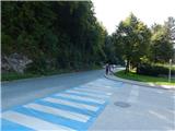 2
2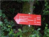 3
3 4
4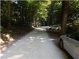 5
5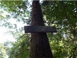 6
6 7
7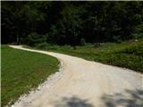 8
8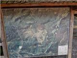 9
9 10
10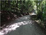 11
11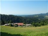 12
12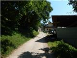 13
13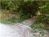 14
14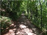 15
15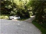 16
16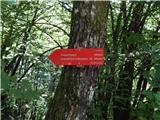 17
17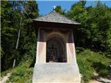 18
18 19
19 20
20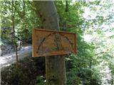 21
21 22
22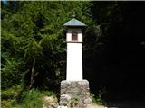 23
23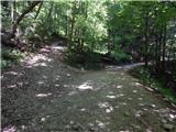 24
24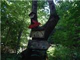 25
25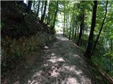 26
26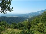 27
27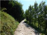 28
28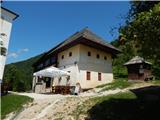 29
29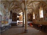 30
30